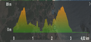
Type of route: ![]()
![]()
Type of itinerary: Linear.
Type of surface: Forest-path
How to get there:
Towards the beaches area, where most of the hotel industry is, we need to get to the main entrance of the Camping de Isla, which is clearly signposted. The route commences at this camping entrance, where we can leave our vehicle and where we can find information boards on the route.
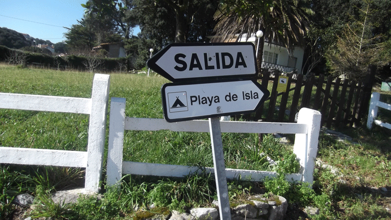 Towards the beaches area, where most of the hotel industry is, we need to get to the main entrance of the Camping de Isla, which is clearly signposted. The route commences at this camping entrance, where we can leave our vehicle and where we can find information boards on the route.
See on map
 Sign to indicate the entrance of camping
See on map
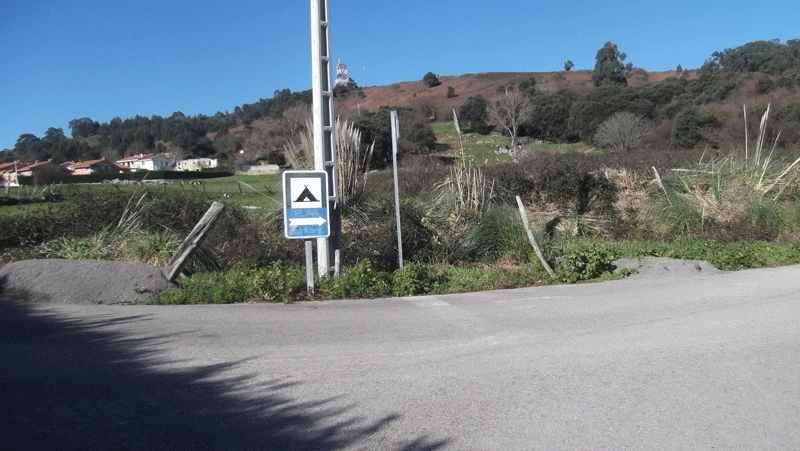
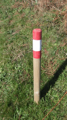 The route is clearly signposted.
See on map
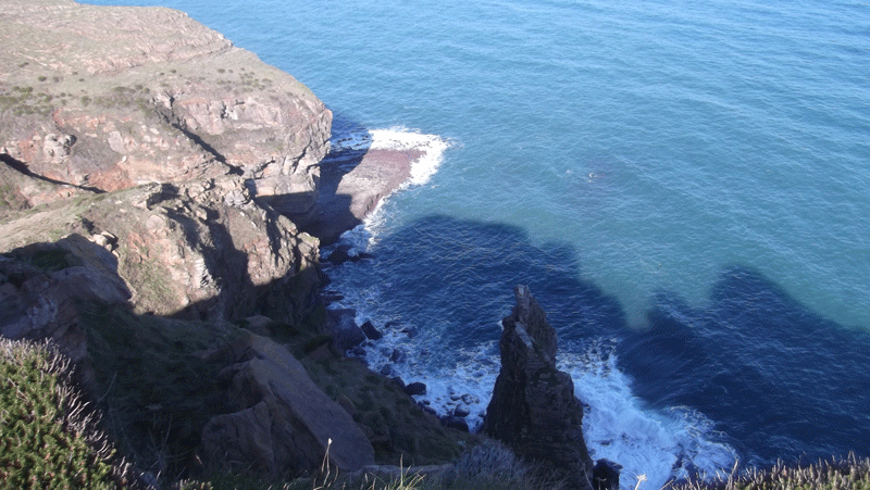
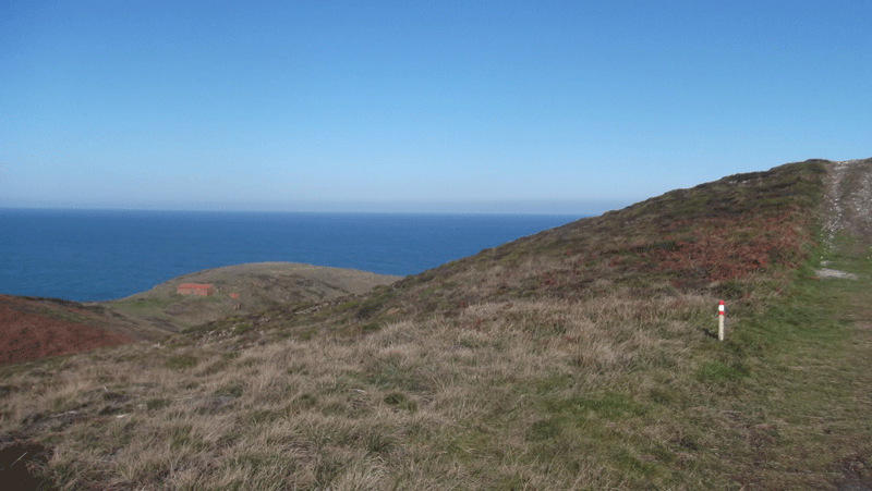
 The route starts with a steep gradient but the rest is realtively flat. We commence the gradient on concrete, towards the water tanks. At this point we start seeing wonderful views of the cliffs.
VSee on map
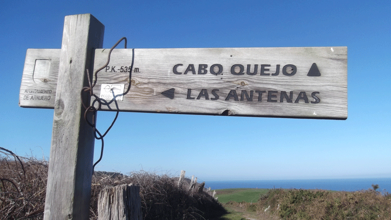 At the top we wil see a wooden sign indicating the Cabo Quejo and las Antenas.
See on map
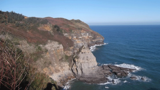
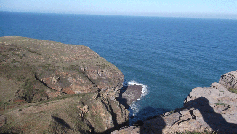
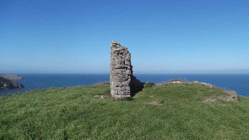
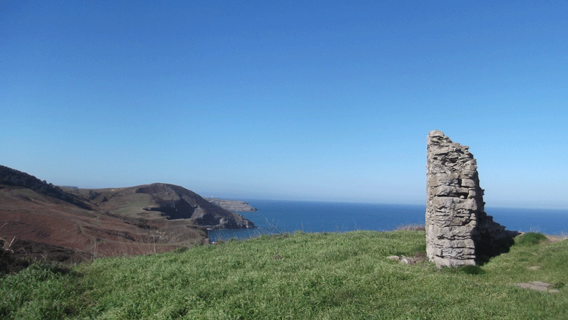
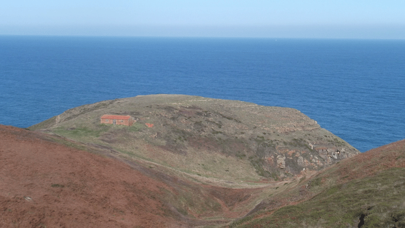 We continue our walk and after a few meters we will be able to see the cape Cabo Quejo and a mark that indicates the direction of the path. Once at the cape, we will see espectacular views of Isla, Noja and Ajo. From this point we will enjoy a wild scenery.
See on map
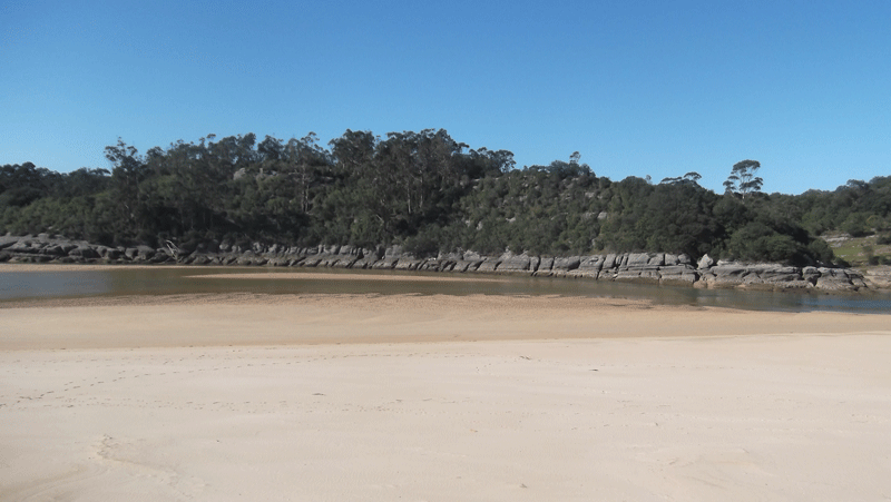
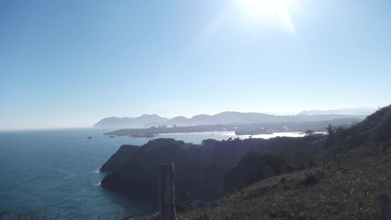
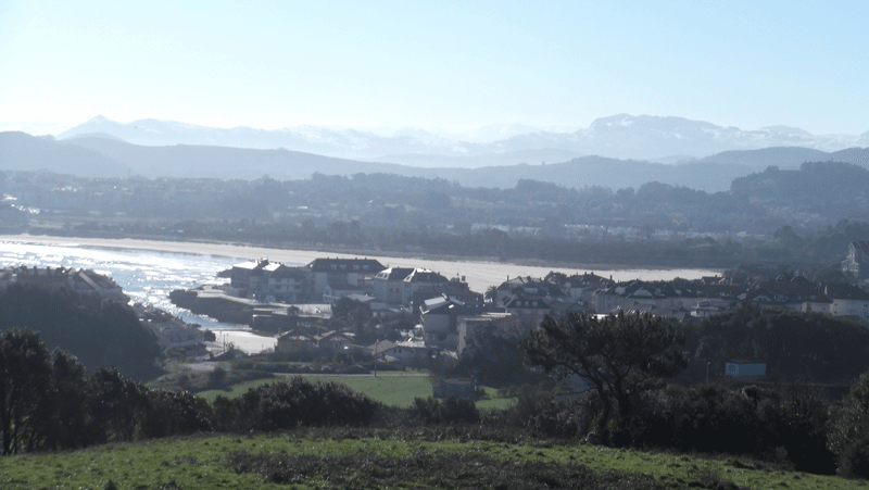 Views of Isla.
See on map
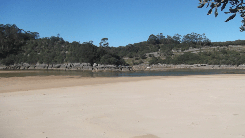
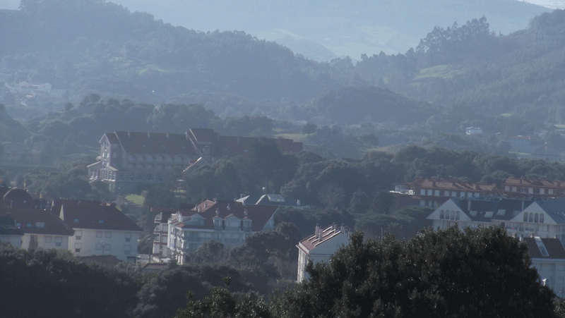 Isla
Isla
See on map
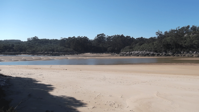
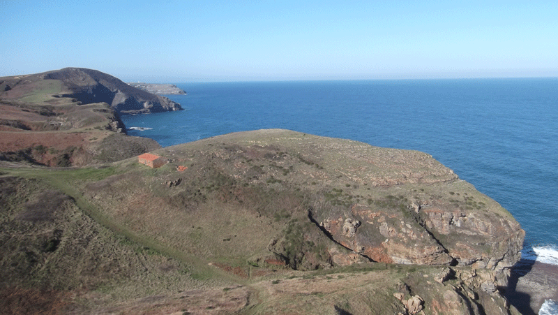
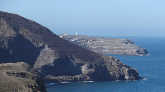 Views of the cape Cabo de Ajo.
From here we get back to the original path, which we won´t leave until the end of the route, at the La Arena beach.
Views of the cape Cabo de Ajo.
From here we get back to the original path, which we won´t leave until the end of the route, at the La Arena beach.
See on map
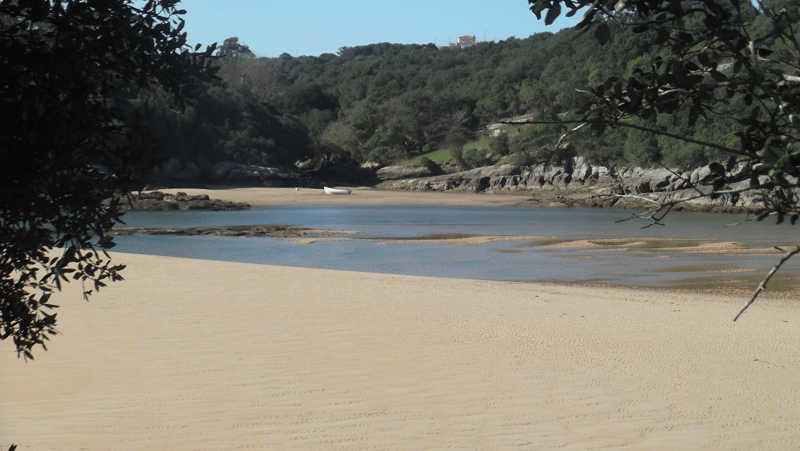
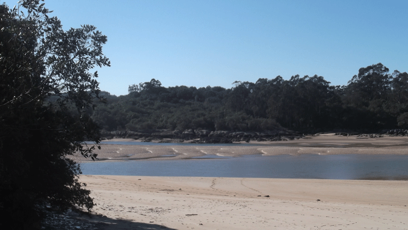
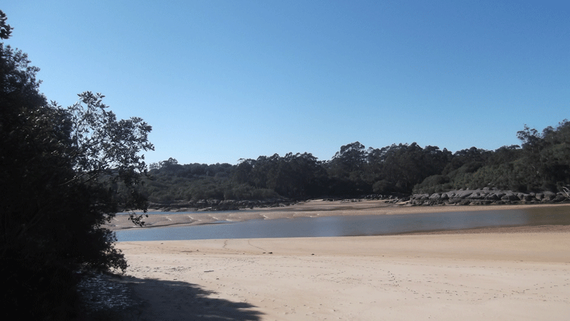 La Arena beach.
See on map
Towards the beaches area, where most of the hotel industry is, we need to get to the main entrance of the Camping de Isla, which is clearly signposted. The route commences at this camping entrance, where we can leave our vehicle and where we can find information boards on the route.
See on map
See on map
Sign to indicate the entrance of camping
See on map
See on map
The route is clearly signposted.
See on map
See on map
The route starts with a steep gradient but the rest is realtively flat. We commence the gradient on concrete, towards the water tanks. At this point we start seeing wonderful views of the cliffs.
VSee on map
VSee on map
At the top we wil see a wooden sign indicating the Cabo Quejo and las Antenas.
See on map
See on map
We continue our walk and after a few meters we will be able to see the cape Cabo Quejo and a mark that indicates the direction of the path. Once at the cape, we will see espectacular views of Isla, Noja and Ajo. From this point we will enjoy a wild scenery.
See on map
See on map
Views of Isla.
See on map
See on map
Isla
See on map
See on map
Views of the cape Cabo de Ajo.
From here we get back to the original path, which we won´t leave until the end of the route, at the La Arena beach.
See on map
See on map
La Arena beach.
See on map
See on map