Type of route: ![]()
Type of walk: Lineal.
Type of firme: Asphalt and sand.
How to get there:
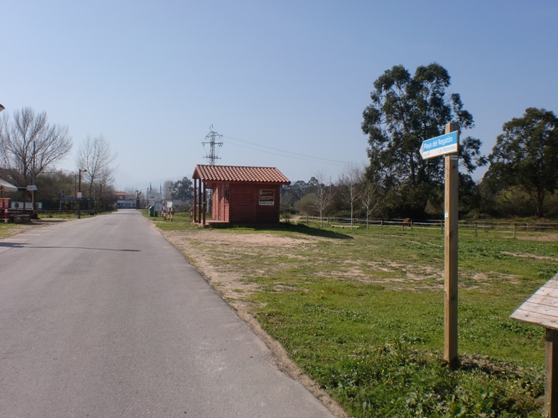
At the Derechos Humanos Avenue, passed the Hospital Comarcal, we find a crossroad on the left that has access to the two campings in the area. Here we can find the route information board.
We are going to do a relaxed and comfortable walk, highly recommneded for an afternoon, to enjoy the sunset.
The Asón estuary and the Regatón beach are integrated within the Santoña, Victoria and Joyel Marshes Nature Park, important wetland in the north of Spain with various protection figures due to its biodiversity importance, specially on migratory birds.
 We start the route at the information board.
See on map
 We take the road we mentioned above and enter, through sand dunes, towards the REgatón beach. We go by the environmental information point of the la Mancomunidad de Municipios Sostenibles de Cantabria, where we can obtain aditional information about the Nature Park.
See on map
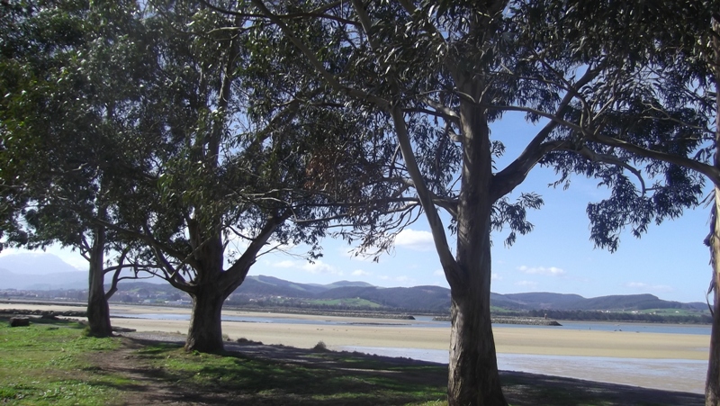
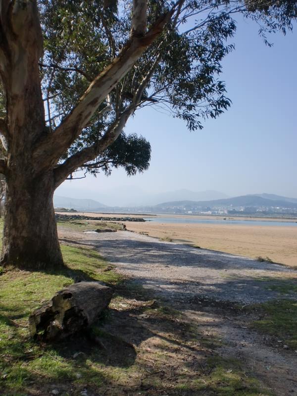
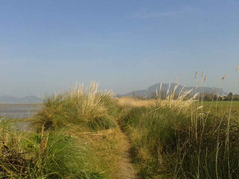
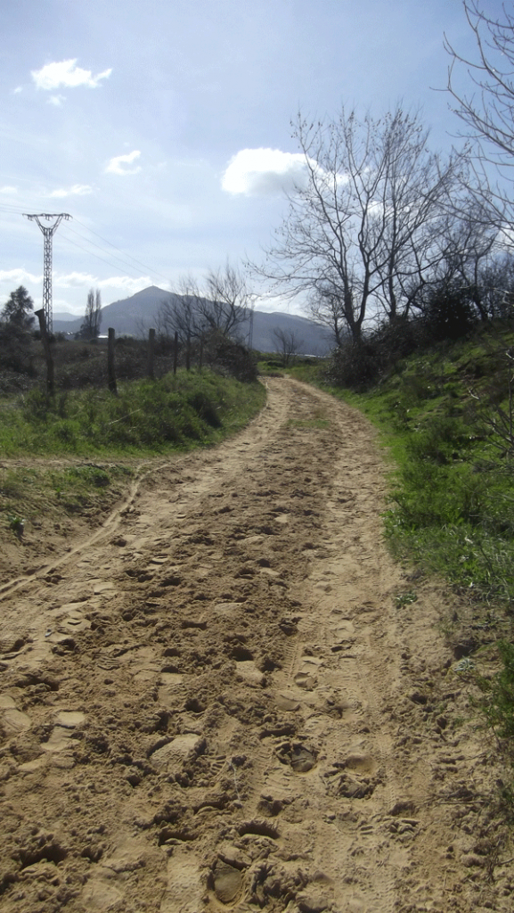
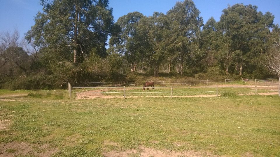 On this first section, of no longer than a kilometer, the route goes through dunes and eucaliptus fields.
See on map
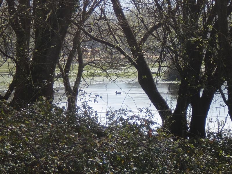 Migratory birds visit the area during the autumn and winter months. If you have binoculars, bring them with you, as you will be able to see ducks, herons and egrets in the natural environment.
see on map
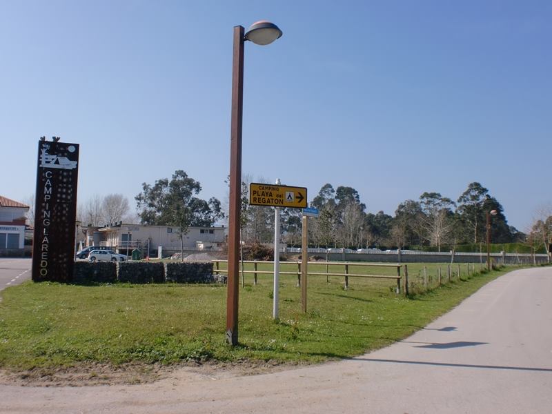 When arriving at the first camping we continue to the right.
See on map
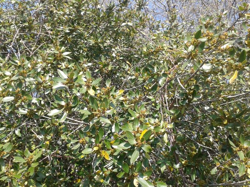 The local flora in the area are laurel, hawthorn or ash.
See on map
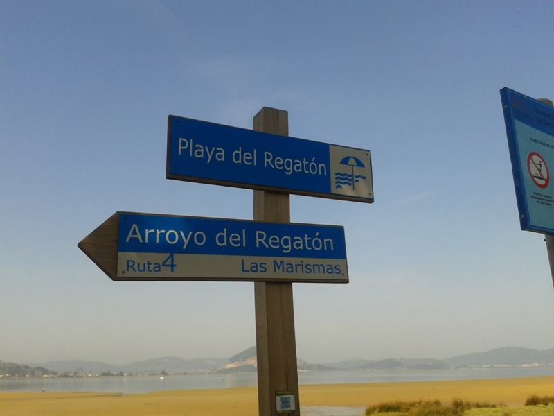
tThe route is sign posted.
See on map
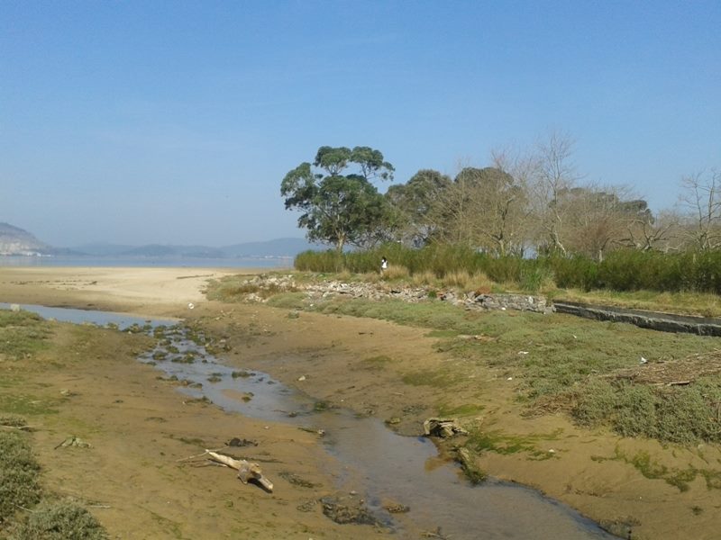
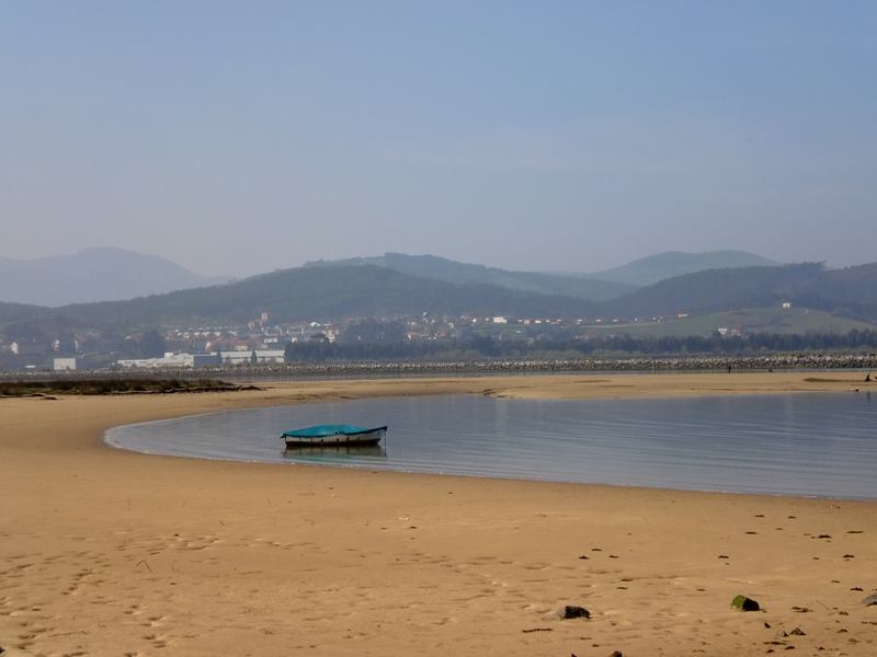
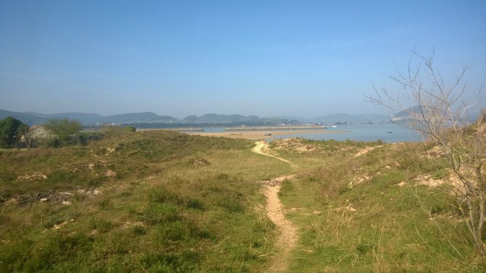
 At the end of the road we have reached the Regatón beach.
see on map
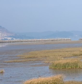
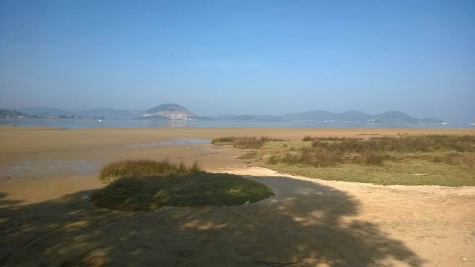 Opposite: we see the central section of the estuary, with the mount Montehano in the background, perfectly distingal fondo, perfectamente distinguisable by its conic shape.
See on map
 On the right: the beach, wide and straight, stretches towards the puntal de Laredo where the Asón estuary exists the sea.
See on map
 On the left: there is a sandy path that runs paralalel to the beach, Colindres direction.
See on map
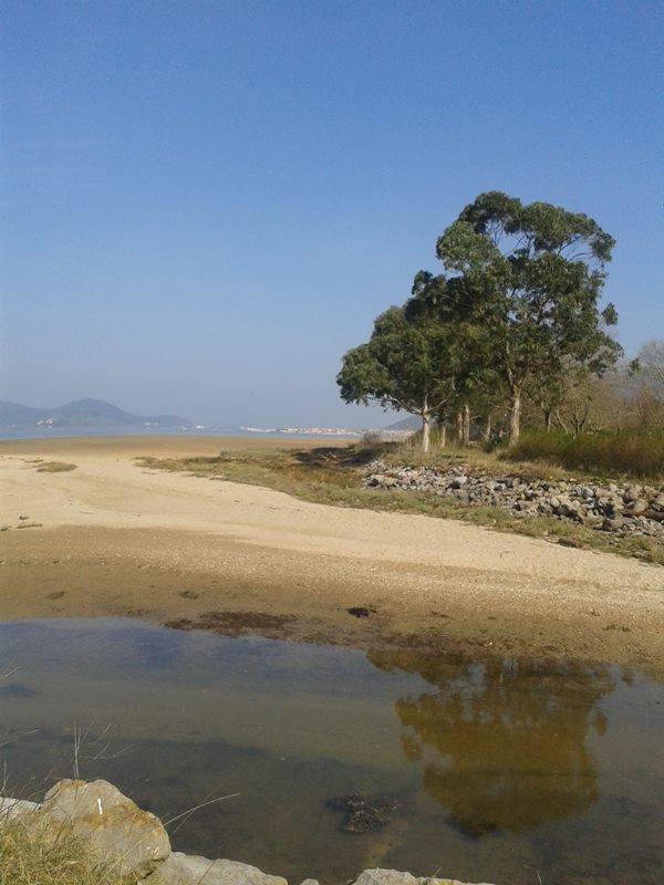
 We have now arrived to the Regatón stream.
See on map
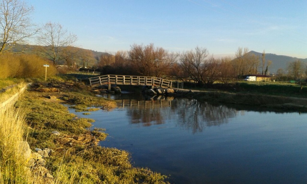 We need to cross the stream through a wooden bridge.
See on map
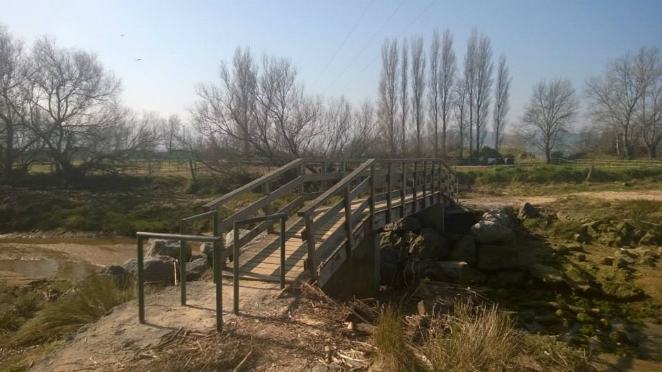
The bridge
See on map
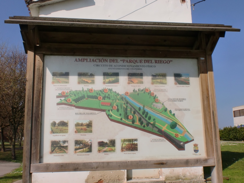
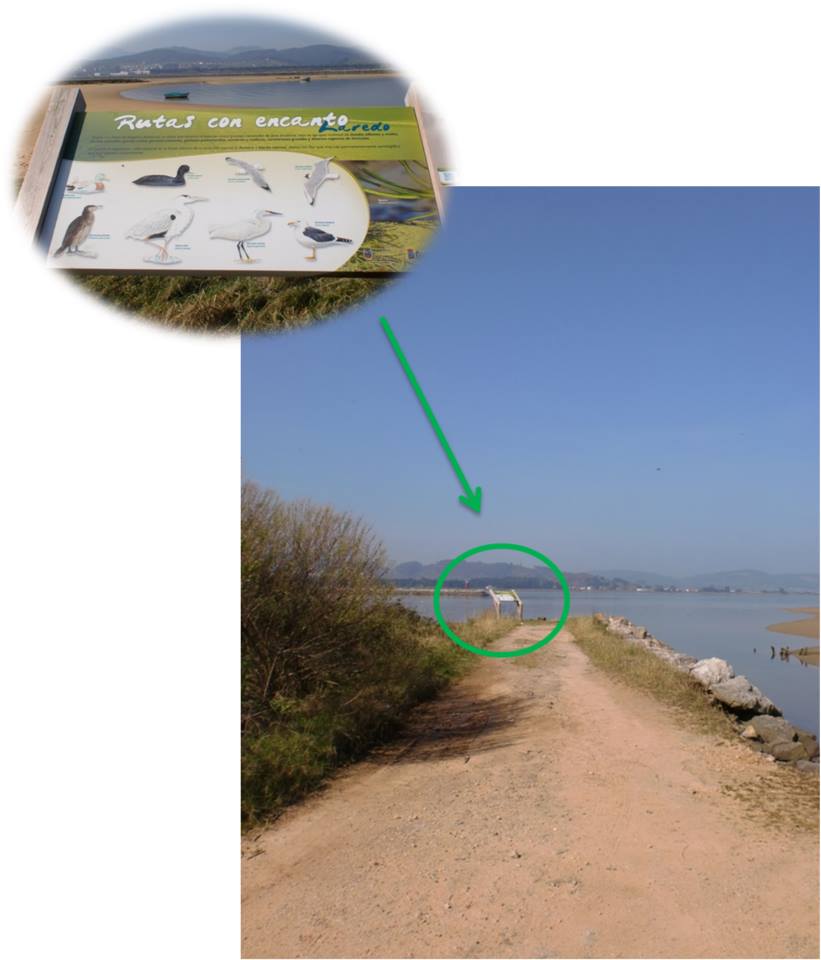
 At this point we continue a few more metres forward seeing the ruins of a dyke and soon find an information board, in which the main environmental values of the area are explained.
See on map
 After this we can continue the route following the sign.
See on map
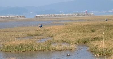 It is easy to see gatherer of shellfish in this area.
See on map
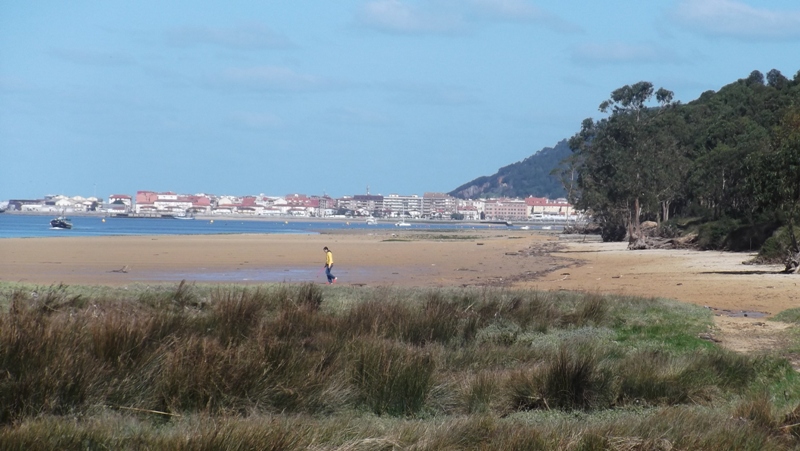
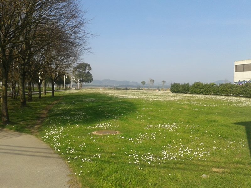
 We are now aproaching to Colindres, and by its maritime promenade we will be going back to our staring point.
See on map
 We are walking back to Laredo, through a dirt track. The path is situated by dykes traditionally built to isolate and dry some fields.
See on map
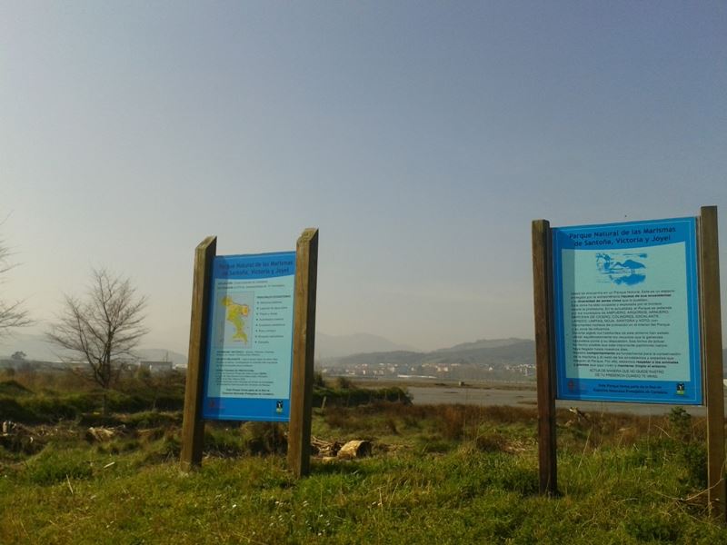 On this section of the route we find information boards on the marshes and the value of this ecosystem. .
See on map
 If the tide is low, we will be able to see winding channels where the birds feed. Salt resistant vegetation grows on the highest areas.
See on map
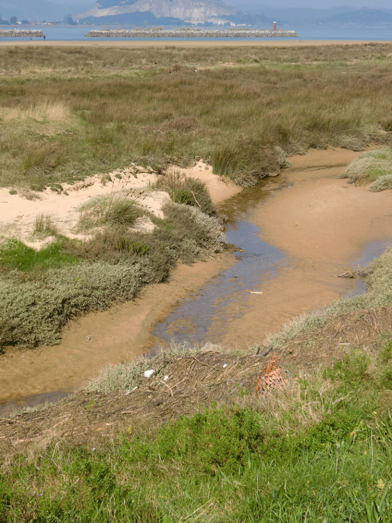 If the tide is high, the scennery is completely different. We will only see small islets covered by vegetation.
See on map
We start the route at the information board.
See on map
See on map
We take the road we mentioned above and enter, through sand dunes, towards the REgatón beach. We go by the environmental information point of the la Mancomunidad de Municipios Sostenibles de Cantabria, where we can obtain aditional information about the Nature Park.
See on map
See on map
On this first section, of no longer than a kilometer, the route goes through dunes and eucaliptus fields.
See on map
See on map
Migratory birds visit the area during the autumn and winter months. If you have binoculars, bring them with you, as you will be able to see ducks, herons and egrets in the natural environment.
see on map
see on map
When arriving at the first camping we continue to the right.
See on map
See on map
The local flora in the area are laurel, hawthorn or ash.
See on map
See on map
tThe route is sign posted. See on map
At the end of the road we have reached the Regatón beach.
see on map
see on map
Opposite: we see the central section of the estuary, with the mount Montehano in the background, perfectly distingal fondo, perfectamente distinguisable by its conic shape.
See on map
See on map
On the right: the beach, wide and straight, stretches towards the puntal de Laredo where the Asón estuary exists the sea.
See on map
See on map
On the left: there is a sandy path that runs paralalel to the beach, Colindres direction.
See on map
See on map
We have now arrived to the Regatón stream.
See on map
See on map
We need to cross the stream through a wooden bridge.
See on map
See on map
The bridge See on map
At this point we continue a few more metres forward seeing the ruins of a dyke and soon find an information board, in which the main environmental values of the area are explained.
See on map
See on map
After this we can continue the route following the sign.
See on map
See on map
It is easy to see gatherer of shellfish in this area.
See on map
See on map
We are now aproaching to Colindres, and by its maritime promenade we will be going back to our staring point.
See on map
See on map
We are walking back to Laredo, through a dirt track. The path is situated by dykes traditionally built to isolate and dry some fields.
See on map
See on map
On this section of the route we find information boards on the marshes and the value of this ecosystem. .
See on map
See on map
If the tide is low, we will be able to see winding channels where the birds feed. Salt resistant vegetation grows on the highest areas.
See on map
See on map
If the tide is high, the scennery is completely different. We will only see small islets covered by vegetation.
See on map
See on map